
The lake
Watts Bar Lake
Wide, easy water halfway between Knoxville and Chattanooga.
A TVA reservoir on the Tennessee River with roughly 39,000 acres of water and 722 miles of shoreline. Main-channel stretches for cruising, deep coves for anchoring out, and lake towns that still feel like towns.
- Surface water ~39,000 acres
- Shoreline 722 miles
- Position Between Watts Bar & Fort Loudoun dams
The lay of the land
What it’s like here.
Watts Bar is the unhurried stretch of the Tennessee River. The lake runs about 72 miles from Watts Bar Dam up to Fort Loudoun Dam, threading through Rhea, Meigs, Roane, and Loudon counties, with the Cumberland Plateau standing along its western edge. The water is wide where you want it wide and tucked-away where you don't.
Shoreline here ranges from open main-channel frontage with long water views to protected coves fed by the Clinch, Emory, and Piney, each with its own personality, dock situation, and winter-depth story. That last part matters: TVA draws the lake down five to six feet in winter, so knowing which coves hold water year-round is local knowledge worth having.
Where it sits
On the Chattanooga–Knoxville corridor.
Click the map to enable scroll zoom · drag to pan
Open Watts Bar Lake in Apple Maps ↗ Own a business or favorite spot around Watts Bar Lake? Get it on the map →
Places to know
The spots that come up in every showing.
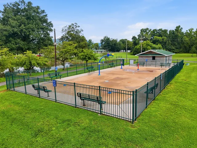 Park & outdoors Veterans Park (waterfront) Splash pad, courts, and the footbridge on the water.
 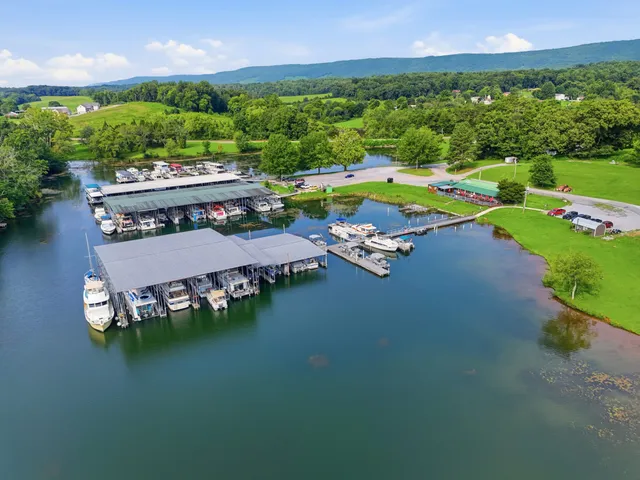 Marina Spring City Resort & Marina Cabins, slips, and the public fishing dock on New Lake Road.
 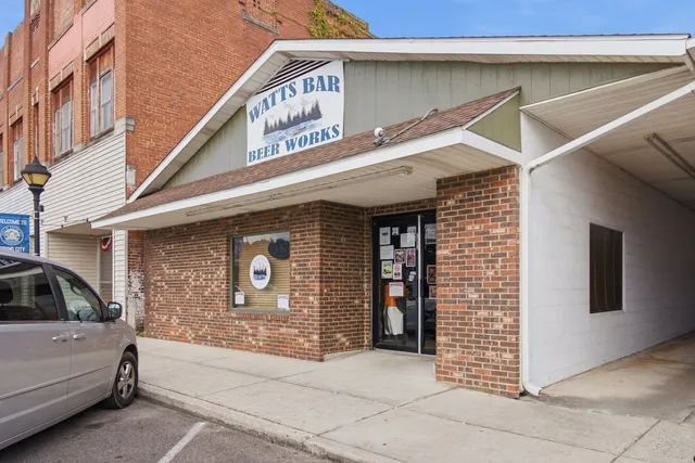 Food & drink Watts Bar Beer Works Craft beer market on Front Street.
 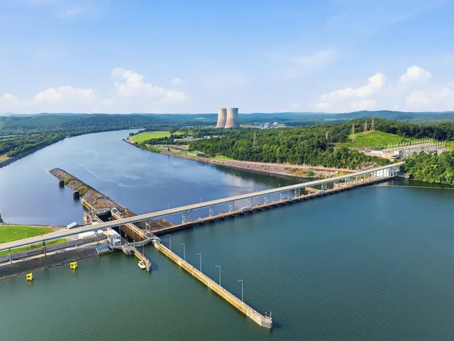 TVA dam Watts Bar Dam The 1942 TVA dam that makes the lake.
 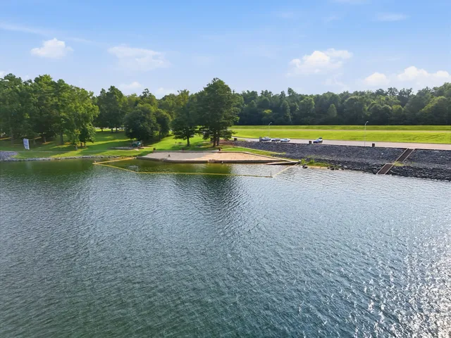 Park & outdoors Watts Bar Dam Reservation TVA's day-use beach and picnic ground at the dam. Marina Terrace View Marina Full-service marina on the east shore. Food & drink Nick's Lakeside Grill Dinner with Watts Bar for a backdrop. Marina Piney Point Resort The old-school fishing resort on the point. Marina Rhea Harbor Piney River water access on the north side. Marina Whites Creek Marina & Lakeside Resort Quiet-side marina toward Ten Mile. Marina Euchee Marina East-shore harbor on Watts Bar near Ten Mile.
 On the water
-
Fishing that ranks
TVA's sport-fishing ratings put Watts Bar crappie and bass at or near the top of the valley system, and TWRA stocks the lake annually: striped bass, black crappie, walleye, and Florida-strain largemouth.
-
Marinas & ramps
Spring City Harbor, Terrace View Marina, and Rhea Harbor anchor the west shore, with public ramps like Piney River scattered the length of the lake, with fuel, slips, and a place to grab dinner off the boat.
-
Room to roam
Cruise the main channel, paddle the creek arms, swim off the sandbars, or anchor out for the weekend. 722 miles of shoreline spreads people out instead of stacking them up.
Worth knowing
-
Watts Bar Dam
The TVA dam that makes the lake: 112 feet high, nearly 3,000 feet across the Tennessee River, with a scenic overlook of the reservoir and the countryside around it.
-
The Piney River
Flows off the Cumberland Plateau into the lake at Spring City, with gorge country, old-growth forest, and waterfall preserves a short drive upstream.
-
Lake towns
Spring City, Ten Mile, Kingston, and Rockwood each put a different face on the same water: harbor town, cove community, county seat, plateau foothill.
Your agent here
Ivey Hayes is your market expert in Watts Bar Lake: Tennessee-licensed, a member of both the River Counties and Greater Chattanooga REALTOR® boards, with the region’s listings at her fingertips.