
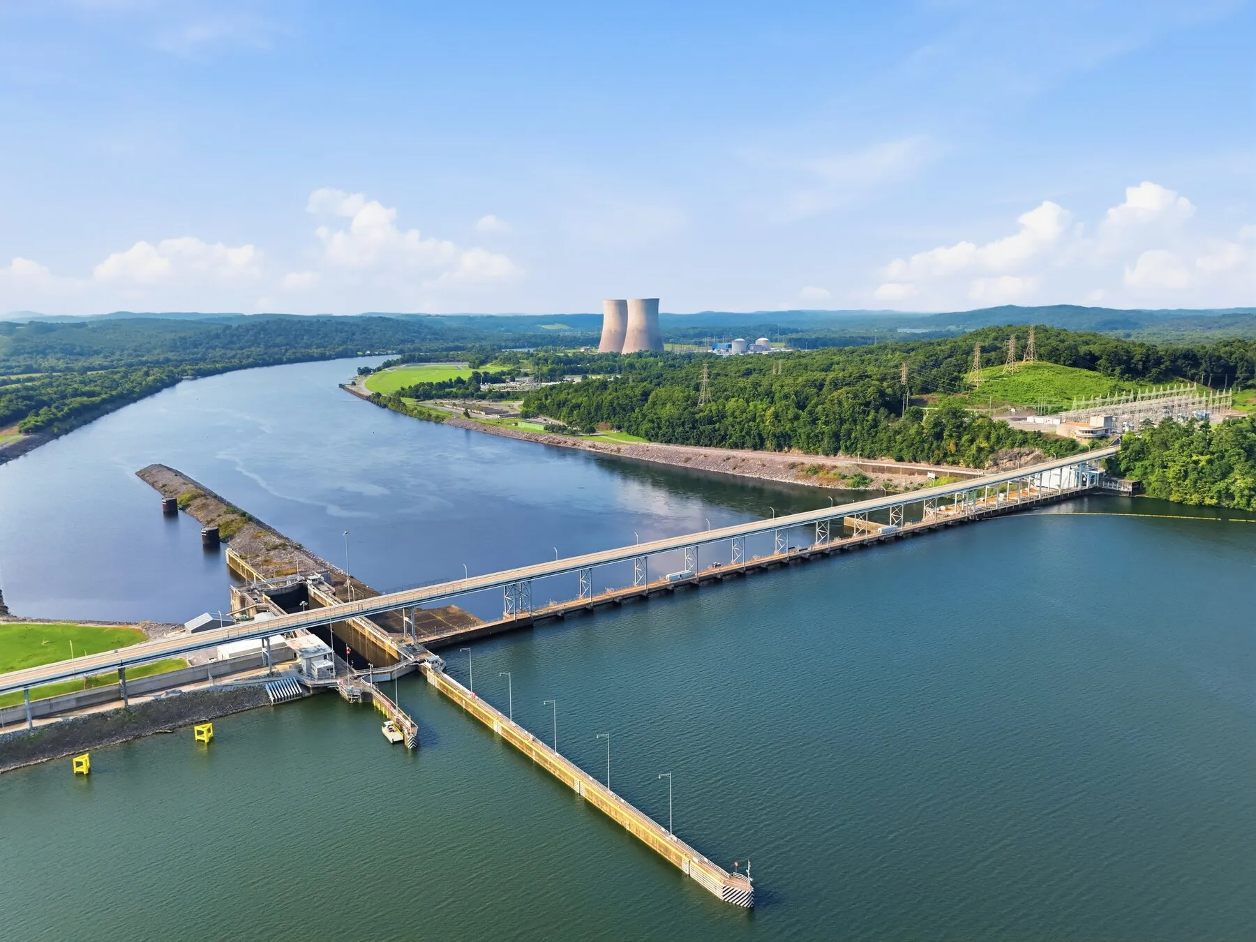
TVA dam
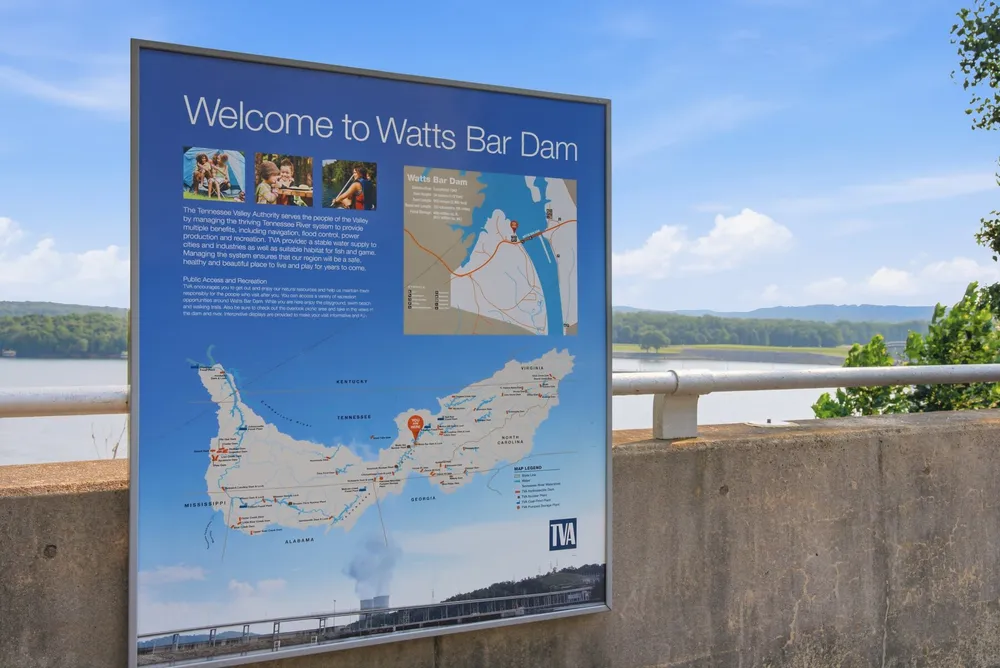
Watts Bar Dam
The 1942 TVA dam that makes the lake.
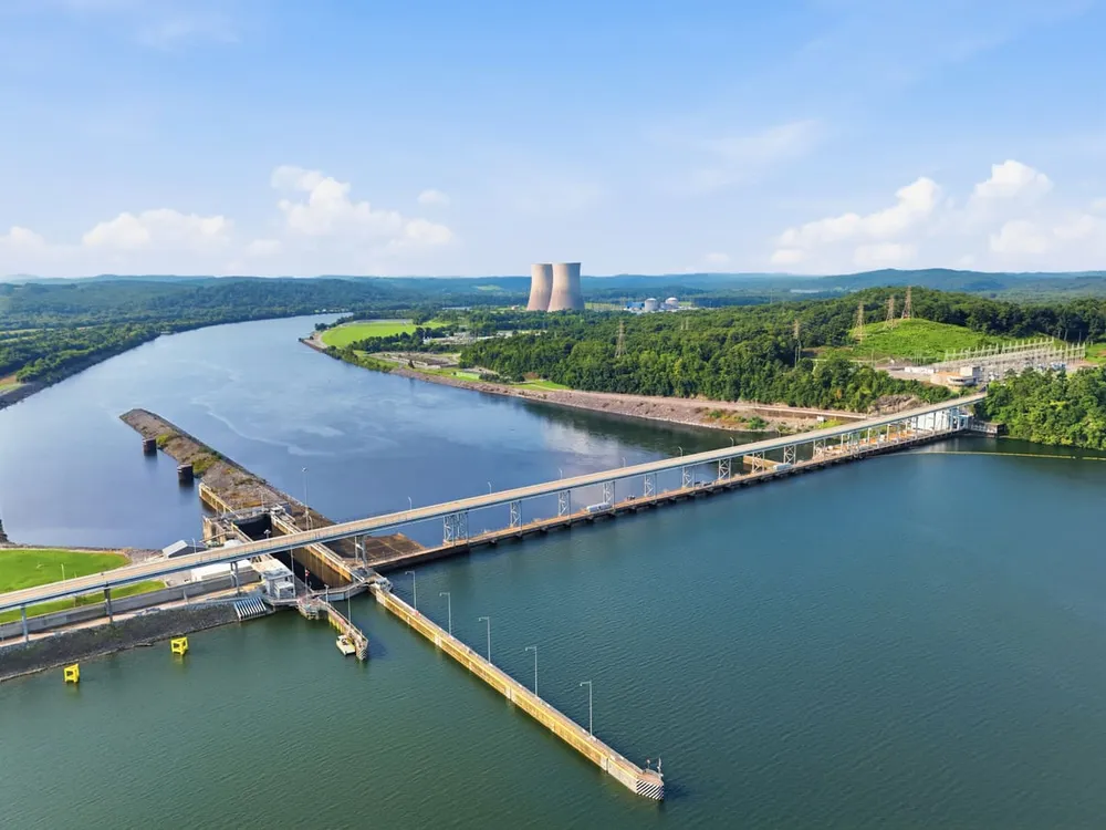
Completed in 1942, Watts Bar Dam stands 112 feet high and stretches nearly 3,000 feet across the Tennessee River. It provides hydropower, flood control, and a navigation lock that keeps the river a working waterway from Knoxville to Chattanooga.
The public side is the overlook and the reservation land around it: views up the reservoir the dam creates, and the day-use recreation area on the east bank. Everything upstream to Fort Loudoun Dam (all 72 miles of Watts Bar Lake) starts here.
Get there: Google Maps Apple Maps Waze


Where it sits
Click the map to enable scroll zoom · drag to pan
Own this place?
Send a new description, request edits, or add up to 5 photos. Your page, your words.
Update this page →Own a different place nearby? It gets a free pin and page too. Get on the map →
See something outdated? Tell us and we fix it fast.
Let’s talk
Thinking about a move?
From “just looking” to “we’re ready,” the first step is the same: a real conversation with someone who knows these lakes.